“
To be a global research hub in
Geospatial AI and applications.
”
Geospatial Artificial Intelligence (GeoAI)
地理空間人工智能技術
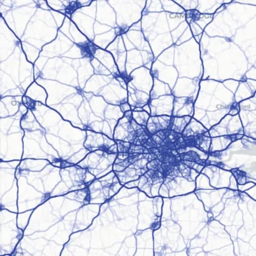
Geospatial Big Data
地理空間大數據
Geospatial Computer Vision
地理空間计算机視覺
Intelligent sensing, imaging, and mapping
智能感測、成像與繪圖
Videos
Focus Areas
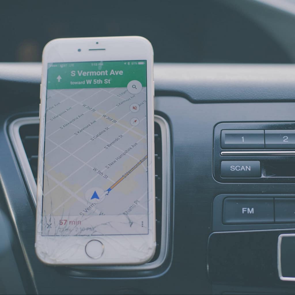
Remote Sensing
The process of detecting and monitoring the physical characteristics of an area by measuring its reflected and emitted raidation at a distance.
Photogrammetry
The science and technology of obtaining reliable information about physical objects and the environment through photographic images.
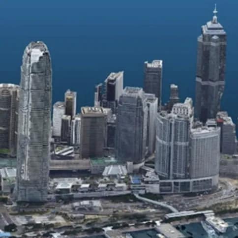
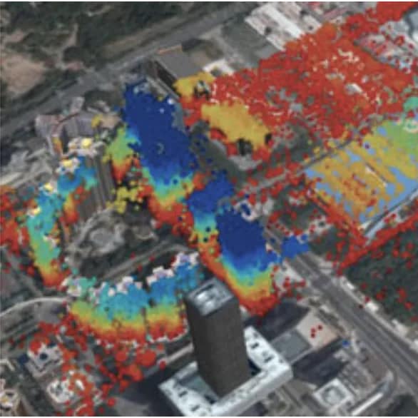
Laser Scanning
A technology which uses laser beams to measure and capture environments in three dimentions with speed and accuracy.
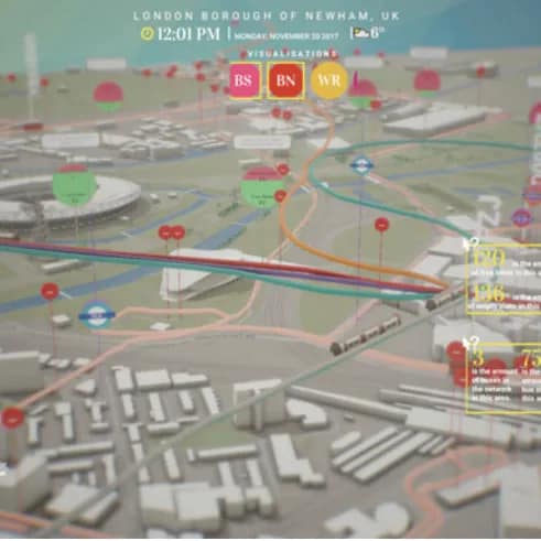
Geoinformatics
The science and technology which uses information science to address the problems of geosciences and related branches.
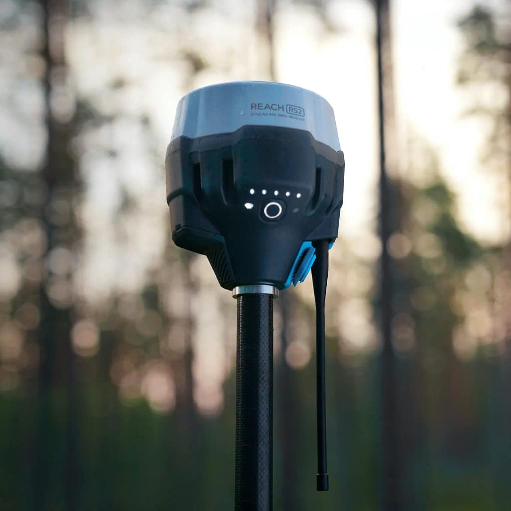
Navigation and Positioning
The ability to determine current and desired position and apply corrections to attain a desired position anywhere around the world.
Surveying and Geodesy
The representations of large portions of the Earth’s surface and smaller portions where the effect of the Earth’s curvature can be ignored.
Ground-Based Sensors
The utilization of a variety of geophysical survey techniques to “see” beneath the surface of the soil, providing a map of the underlying features.
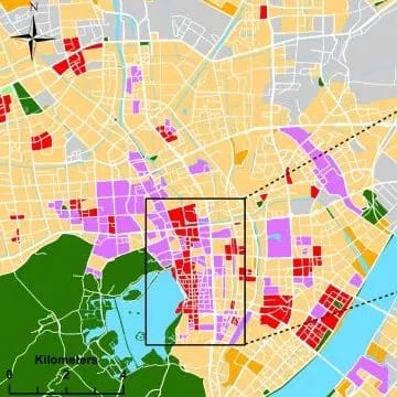
Geospatial AI
The combination of innovations in spatial science, high-performance computing, and AI methods to extract knowledge from spatial big data.
Geospatial Big Data
Spatial data sets exceeds the capacity of traditional computing systems. They have always been big data and their size is growing rapidly.
Geospatial CV
An interdisciplinary field of AI that trains computers to interpret geospatial photographies and videos.
 English